Section A
The Strait
Forty miles, and what crossed them. Its width and depth, the seasons that governed a small boat, and the weather both shores share.
The entries
4 entries in this section. Every one is a named place or a named practice, described as built fabric.
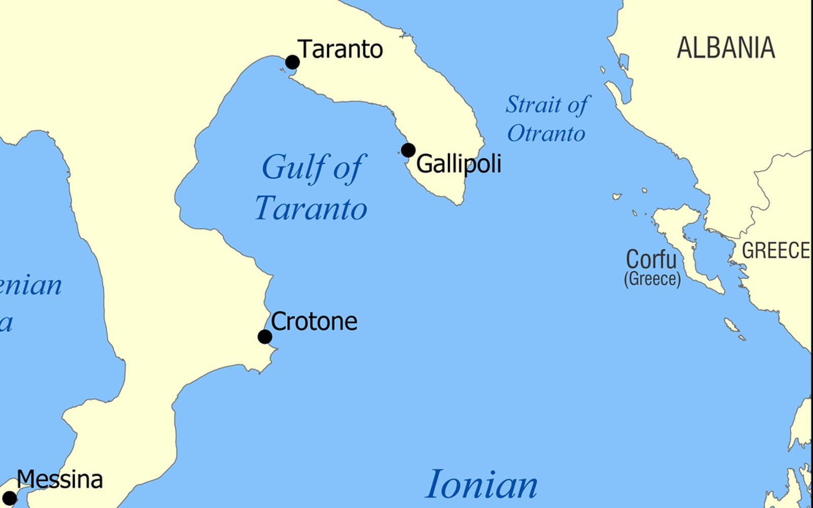
- A.1The Strait of OtrantoThe narrowest crossing, why it has carried traffic for millennia, and what a channel this width does to two coasts that can see each other.
- A.2The crossingWhat actually moved — grain, salt, timber, people — and the seasons that governed when a small boat could attempt it.
- A.3Two shores, one weatherThe bora and the sirocco arrive on both sides; the building answers differ.
- A.4What the water carriedLanguage, rite and building technique crossing in both directions, not one.
Elsewhere in the register