Stations and distance
The Via Egnatia was not just a road: it was a measured sequence of stopping points, and that sequence still underlies the settlement pattern of the southern Balkans.
- Entry
- C.2
- Where
- The Shkumbin corridor
- Period
- Roman
- Section
- The Via Egnatia
01The Day's March and the Station
Roman military roads were built around the logistics of movement. A legion covering the road east needed water, fodder, a defensible halt, and storage for supplies at predictable intervals. On the Via Egnatia, mansiones — overnight stations with stabling and quarters — were spaced roughly twenty to thirty Roman miles apart, corresponding to a day's march under load. Smaller mutationes, relay points for changing horses, sat between them. The distance was not arbitrary: it was a working measurement, calibrated to human and animal endurance.
The Itinerarium Antoninum, a Roman road register compiled in the third century, records many of these stations by name along the Egnatia's route. Lychnidos — present-day Ohrid — appears as a major stop; Herakleia Lynkestis, near modern Bitola, as another. On the Albanian stretch, Apollonia and then Dyrrachium — Durrës — anchored the western end, with stations measured inland from the Adriatic coast. The numbers in the itinerary are not always consistent with field archaeology, but the general rhythm of settlement holds.
What makes the Egnatia pattern legible today is that those stations attracted secondary growth.
What makes the Egnatia pattern legible today is that those stations attracted secondary growth. A mansio drew a market, the market drew craftsmen, and the craftsmen drew a village. When the Roman administration collapsed and the road fell into disrepair, the settlements did not disappear with it. They had their own logic now — a water source, a river crossing, a patch of flat arable land. The station had become a town, and the town persisted regardless of who was using the road or how.
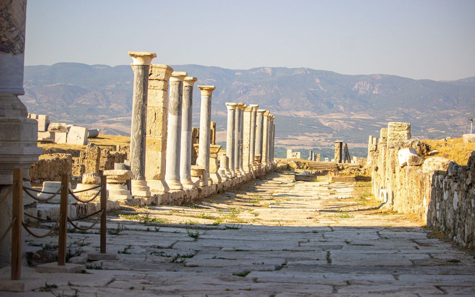
The spacing shows in the modern map as an almost even distribution of mid-sized towns across northern Greece, North Macedonia, and Albania along the old corridor. Drive or walk the route and you feel the rhythm: lowland flat, then a river, then a cluster of buildings, then lowland flat again. The interval that a Roman quartermaster computed in miles per day has become, over two millennia, the underlying grid of human habitation across the width of the peninsula. The road is largely gone; the cadence of where people stopped remains.
- Third centuryItinerarium Antoninum compiled, recording Egnatia stations by name
- Lychnidos (Ohrid) and Herakleia Lynkestisnamed major stops on the route
- Dyrrachium (Durrës)western terminus anchor on the Adriatic
- mansio
- overnight road station with stabling and accommodation
- mutatio
- relay point between mansiones, for changing horses
- Itinerarium Antoninum
- third-century Roman road register recording distances and stations