Narta
A shallow coastal lagoon on the Albanian Adriatic, where salt pans have shaped the landscape for centuries.
- Entry
- G.2
- Where
- North of Vlorë
- Period
- Ottoman monopoly to present
- Section
- The Lagoons
01The Lagoon and Its Work
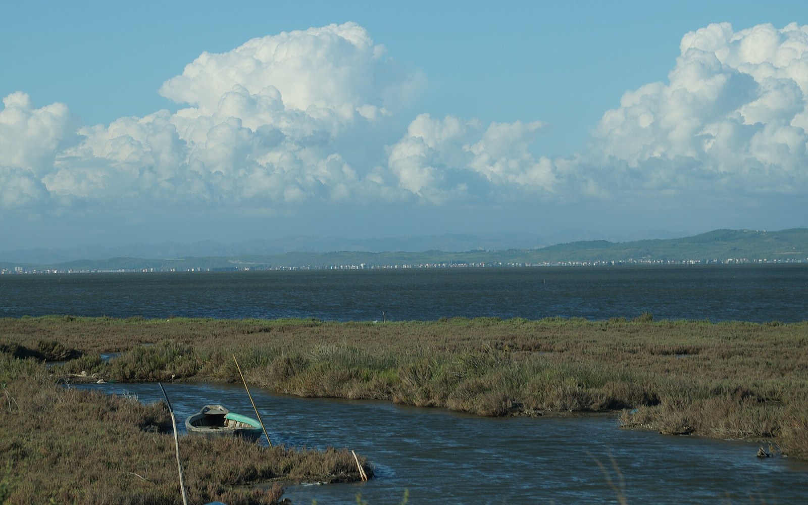
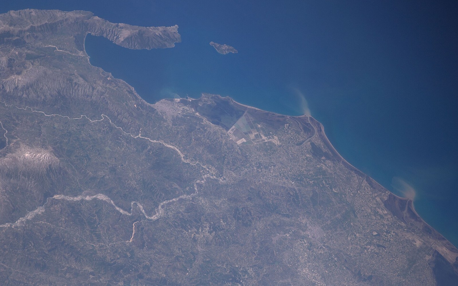
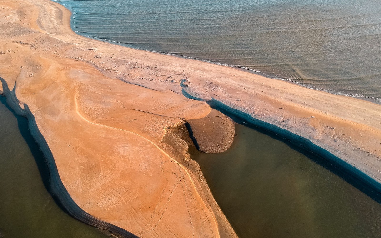
Narta lies a few kilometres north of Vlorë, separated from the Adriatic by a low sand barrier and fed by both seawater and freshwater streams draining from the hills inland. It is shallow — rarely more than a metre deep across most of its extent — and that shallowness is the point. In a warm climate with reliable winds, a shallow saltwater body loses water faster than it gains it for much of the year. The result is a landscape organised around evaporation.
Salt extraction here is old. The lagoon sits at the northern edge of the Bay of Vlorë, and the position — sheltered from the open sea, close to a town with export routes — made it commercially logical long before any recorded date. The Ottoman administration formalised salt production at Narta as a state monopoly, as it did at productive sites across the Adriatic and Aegean shores. The physical infrastructure of a salt operation — the dividing embankments, the sluices that regulate the flow between pans, the shallow collecting basins where brine reaches maximum concentration before harvest — gives the lagoon the gridded, constructed appearance it still carries.
The embankments themselves, raised from the bed of the lagoon, are the defining landscape feature — more conspicuous than the water they divide.
Working salt pans read as a kind of agriculture. The sequence runs from the inlet, where seawater enters at controlled intervals, through a series of progressively shallower and saltier ponds, to the crystallising pans at the end of the chain. The harvest, when salt is raked from the floor of those final pans and piled in white mounds on the embankments, is the most visible moment of a process that runs across the whole summer season. The embankments themselves, raised from the bed of the lagoon, are the defining landscape feature — more conspicuous than the water they divide.
The lagoon also supports wading birds and waterfowl, as shallow brackish water of this kind typically does, and flamingos have been recorded feeding in the pans. That coexistence — industrial salt production and significant birdlife in the same basin — is characteristic of functioning salt lagoons across the Mediterranean. The managed gradient from near-fresh to near-brine, maintained by the sluice system, creates a range of salinities across a small area, each supporting different organisms.
Narta is not a wilderness that happens to contain salt infrastructure. It is a working system, and the salt pans are the landscape.
- Ottoman periodsalt production at Narta formalised as a state monopoly; part of a pattern applied across Adriatic and Aegean productive sites
- Summer seasonthe operational window for evaporation and harvest; timing determines the whole cycle
- Sand barrier
- low spit separating the lagoon from the open Adriatic
- Dividing embankments
- raised from the lagoon bed; the primary visible feature of the salt pan system
- Sluices
- regulate seawater entry and flow between pans at different salinities
- Crystallising pans
- the final, shallowest basins where salt forms and is raked